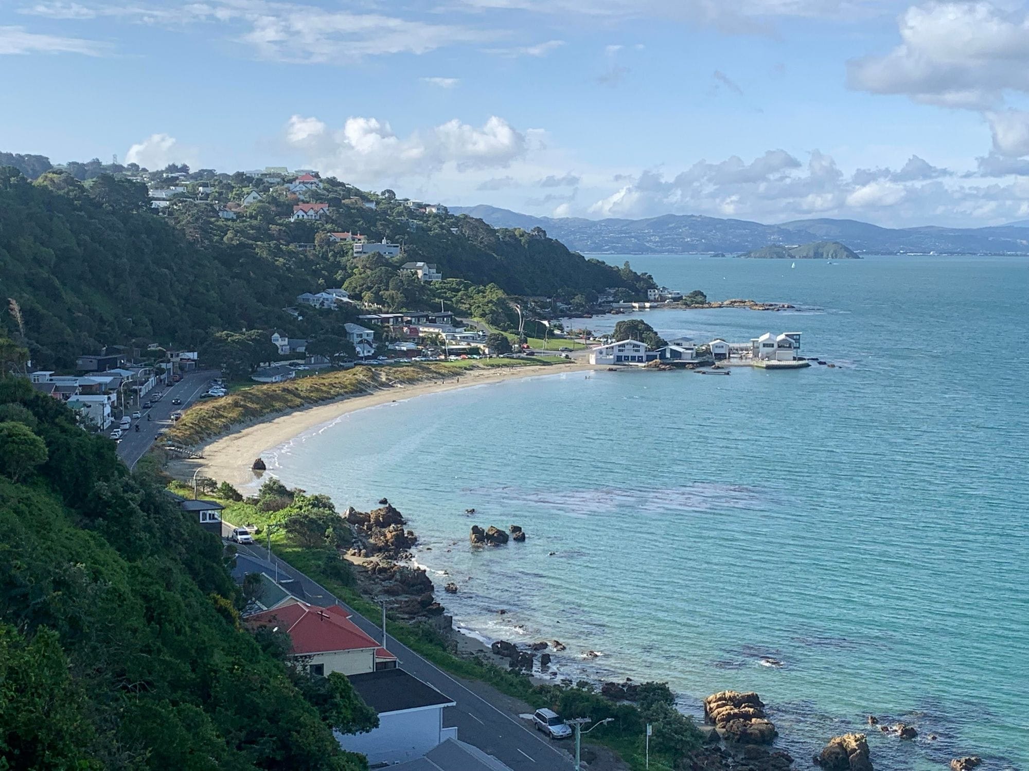
Worser Bay is a sand beach at Seatoun in Wellington, a few minutes’ drive past the airport, beside the entrance to Wellington Harbour. The Worser Bay Boating Club sits on the beach. A local wing location guide calls the bay a great learner spot, with sheltered grass for rigging and parking, and White Cloud Watersports runs its learn-to-wingfoil courses here.
Seatoun village, about 1.1 km by road, has a neighbourhood pub, Little Sprig Seatoun, and a community cafe, Arcimboldi.
The record comes from a 9 km global model with no station check, so at a harbour entrance read it as a guide.
Not yet checked against a weather station or an independent model, so treat these figures as a guide.
At a glance
Is it for you?
Skill levelComfortable
WaterBit of chop
Wind · AugUsually turns up
Crowds · AugBusy patches
Local vibeFriendly enough
Water qualityMurky after rain
NightlifeA bar or two
CostMid
Geek analysis
August in the record
66% of days clear 12 kt for three daylight hours or more.
In August the wind most often sits at 8 to 11 kt or 12 to 15 kt (25% of daylight hours each) and is over 12 kt from 10am to 4pm on at least half the days. See both charts in the full report
No weather station near enough to check these figures against.
August on the record
The month's own figures, not the year's average.
Rideable days21 of 31Ten Augusts in the record
Wind, rideable hours16 ktMean over daylight hours at 12 kt+
Air12.6°CMaximum
Take it with you
The full Wellington - Worser Bay report
Seven sections over six pages, built from the same record as this page. A PDF you can read on the plane.
01Hour-by-hour & month-by-month wind02The month's own records03Full stays, schools & kit04Launch and tide notes05Ships, the waterski lane & the headland06Getting there, packing & best months07Sources, and their limits
WindChaser spot reportWellington - Worser BayWellington, New Zealand · August66% of days clear 12 kt for three daylight hours or more.
When it gets busy
Crowds
The Worser Bay Boating Club races on Saturday afternoons in a season that generally runs from the beginning of September to the end of April, and hosts national dinghy championships from 19 to 24 January and 26 to 30 March 2027. WindChaser has no crowd count for the bay.
On the water
What August usually does
Wind directionN to NW, or SESide-shore in a northerly or north-westerly, per a local wing guide, and it also works in a south-easterly.
Wind strength16 to 17 ktThe mean over rideable daylight hours, August to December, in the record. A 9 km model grid: read it as a guide.
When it blowsNoon to 4pmAt 12 kt or more on under half of days at 8am, and on about six days in ten from noon to 4pm, August to December.
Your playground
Launches & safety
Conditions change. Check local rules and conditions before you ride.
Launch
Hazard
Parking
School
Stay
Webcam
Approximate
Local intel
Getting there & on the ground
Nearest airportWellington (WLG)4.9 km by road, about 8 minutes.
On the groundAugust to DecemberThe windiest months in the record. October is the pick.
Getting aroundCarFrom the city, round past the airport and through the Seatoun Tunnel. A local wing guide notes sheltered grass rigging and parking by the beach.