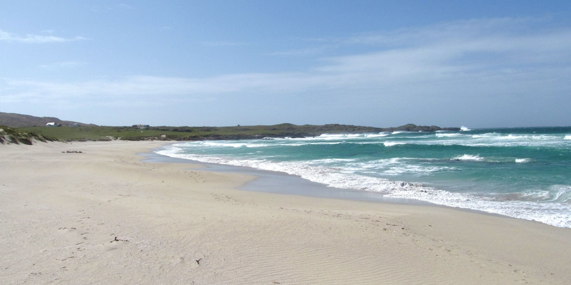
Tiree is the most westerly island in the Inner Hebrides, low, flat and open to the Atlantic on every side. There is no mountain to bend the wind and no sea breeze to wait for: the weather arrives off the ocean in fronts. The island has sand bays facing almost every way from north round to south, so on most windy days one of them has the wind blowing across it.
Riding here means reading the chart, picking the beach and driving to it.
WindChaser’s record here is a 9 km model checked against the Met Office station at Tiree airport, in the middle of the island, and the station agreed with it without a correction.
87% of days clear 12 kt for three daylight hours or more.
In October the wind most often sits at 16 to 19 kt (24% of daylight hours) and is over 12 kt from 8am to 6pm on at least half the days. See both charts in the full report
October on the record
The month's own figures, not the year's average.
Rideable days27 of 31Nine Octobers in the record
Strongest measured gust83 ktOctober 2025, Met Office Tiree station, 60 m away. Twenty-six Octobers measured, 2000 to 2025. Station, not the beach.
Wind, rideable hours20 ktMean over daylight hours at 12 kt+
Air12.5°CMaximum
Take it with you
The full Tiree report
Seven sections over six pages, built from the same record as this page. A PDF you can read on the plane.
01Hour-by-hour & month-by-month wind02The month's own records03Full stays, schools & kit04Per-launch tide notes05Rocks, rips & the ferry pier06Getting there, packing & best months07Sources, and their limits
WindChaser spot reportTireeInner Hebrides, United Kingdom · October87% of days clear 12 kt for three daylight hours or more.
When it gets busy
Crowds
Jan · Low
Busiest from July to October, with the summer holidays and the Tiree Wave Classic, which runs from 10 to 16 October 2026: book the ferry and a bed early for that week. The windy winter months are the quiet ones. Compiled research, not a count.
On the water
What October usually does
Wind directionSW to WThe prevailing wind. The bays face every way from north round to south, so pick the one the wind blows across.
Wind strength18 to 21 ktThe mean over rideable daylight hours, September to March, checked against the Tiree station. Fronts gust far higher.
When it blowsAll dayAtlantic fronts, not a sea breeze: the share of windy days moves only a little from 8am to 6pm.
Your playground
Launches & safety
Conditions change. Check local rules and conditions before you ride.
Launch
Hazard
Parking
School
Stay
Webcam
Approximate
We haven't found published rules for this spot.
Local intel
Getting there & on the ground
Nearest airportTiree (TIR)On the island. Loganair flies from Glasgow.
On the groundSeptember to MarchThe windiest months in the record. February is the pick.
Getting aroundFerry, then a carCalMac sails from Oban, about 4 hours. Roads are single track; park in marked areas only.