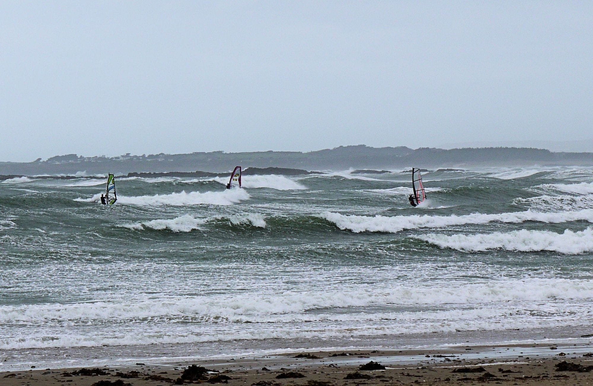
Rhosneigr is a village on the west coast of Anglesey, with a west-facing bay in front of it and the Irish Sea beyond. The main beach directly in front of the village is where the kiters and windsurfers gather, and it works on anything from south-west round to north-west. FunSport, on Beach Terrace, runs a webcam over the water, and RAF Valley nearby has a live wind meter.
October to February are the windy months. WindChaser’s record here is a 9 km model corrected by month and hour against the Met Office station at RAF Valley, 3 km away on the same coast, an airfield rather than a beach mast. In each of those months two days in three or more clear 12 knots for three daylight hours, and February is the pick at more than three in four, with October and December close behind. The mean over those rideable hours runs from 19 to 20 knots. March, August and September show no figure, because the station check left too wide a margin there. May is the quietest of the months that do, at just over half the days. The record shows it blowing through the day, building a little towards early afternoon: in December the share of windy days climbs from about 58 per cent at 8am to 66 per cent at 1pm. A powered-up December session is a cold one.
54% of days clear 12 kt for three daylight hours or more.
In May the wind most often sits at 8 to 11 kt (28% of daylight hours). No daylight hour is over 12 kt on at least half the days. The best hour is 1pm, on 48% of days. See both charts in the full report
May on the record
The month's own figures, not the year's average.
Rideable days17 of 31Ten Mays in the record
Strongest measured gust57 ktMay 2021, Met Office RAF Valley station, 3.2 km away. Twenty-six Mays measured, 2000 to 2025. Station, not the beach.
Wind, rideable hours17 ktMean over daylight hours at 12 kt+
Air14.9°CMaximum
Take it with you
The full Rhosneigr report
Seven sections over six pages, built from the same record as this page. A PDF you can read on the plane.
01Hour-by-hour & month-by-month wind02The month's own records03Full stays, schools & kit04Per-launch tide notes05Rocks, the rip & the wind shadow06Getting there, packing & best months07Sources, and their limits
WindChaser spot reportRhosneigrAnglesey, United Kingdom · May54% of days clear 12 kt for three daylight hours or more.
When it gets busy
Crowds
Jan · Low
Busiest from June to August with the summer holidays; the windy winter months are the quiet ones. Roadside parking by the beach fills quickly on windy days. Crowds are compiled research, not a count.
On the water
What May usually does
May sits outside the best months here. 54% of days clear 12 kt for three daylight hours or more.
Your playground
Launches & safety
Conditions change. Check local rules and conditions before you ride.
Launch
Hazard
Parking
School
Stay
Webcam
Approximate
Local intel
Getting there & on the ground
Nearest airportLiverpool or ManchesterAnglesey Airport has had no scheduled passenger flights since 2020. Continue by rail or road.
On the groundOctober to FebruaryThe windiest months in the record. February is the pick.
Getting aroundTrain or carRhosneigr station is a request stop on the North Wales Coast Line. Beach parking fills fast; a pay-and-display car park is about 500 m away.