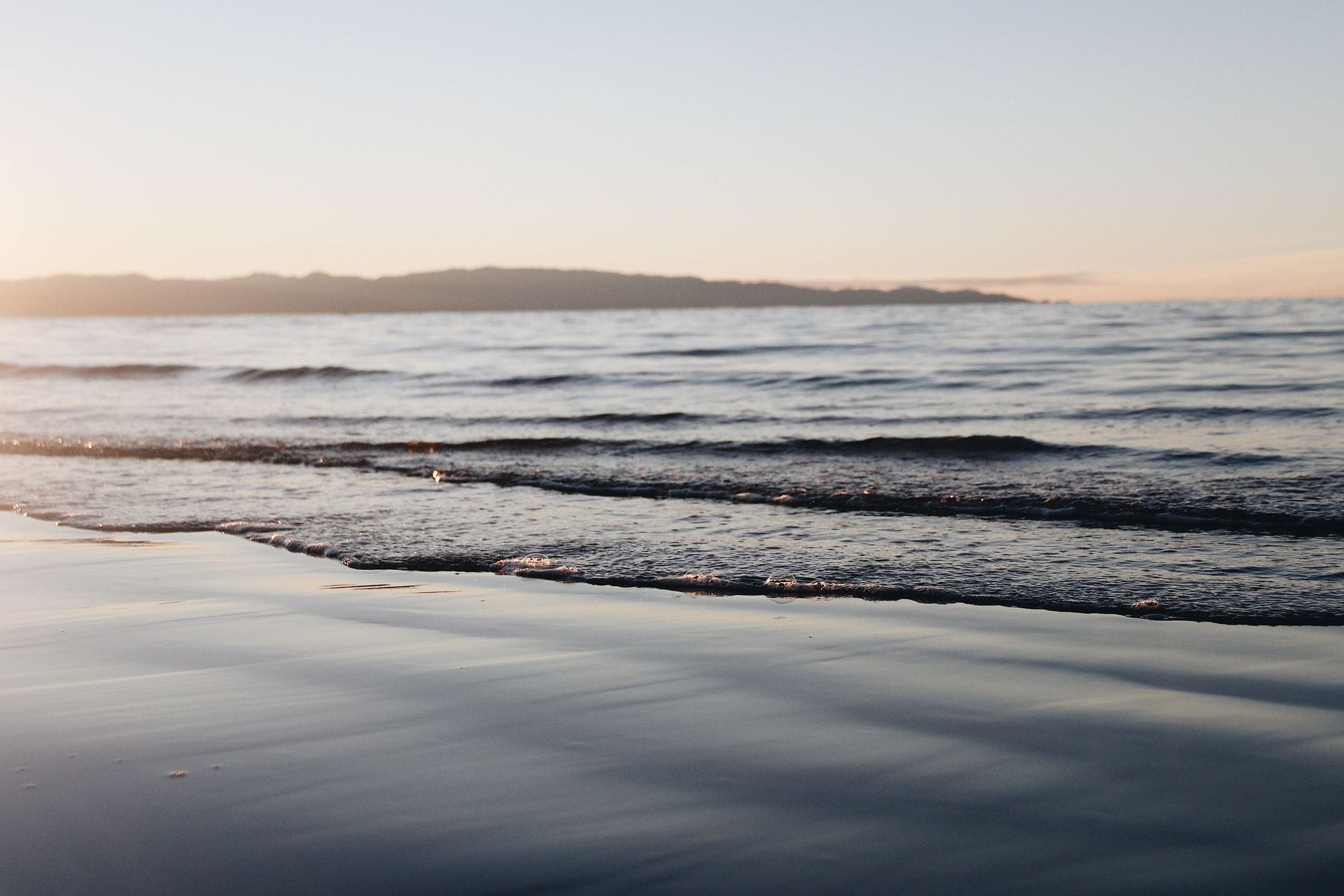
Nelson, New Zealand
Tāhunanui, Nelson
What it's actually like
Tāhunanui is the closest beach to Nelson City, a 1.75 km stretch of sand on Tasman Bay. The regional tourism office calls Nelson Tasman a popular place for kitesurfing, windsurfing and wingboarding because of its consistent thermal sea breezes, and names Tāhunanui as the ever-popular and convenient choice. The city council’s navigation bylaw sets aside a kite area at the western end of the beach, away from the swimmers.
WindChaser shows no wind figures for Tāhunanui. The only wind record behind this page comes from a global model on a 9 km grid, and its nearest grid point is 4.77 km from the beach, inland at The Brook, south of the city centre. NIWA’s climate report for the region describes sea breezes along the Nelson and Tasman coast when pressure gradients are weak, most common in summer, and a single inland point on a 9 km grid does not resolve a sea breeze at one beach. So the record’s figures are withheld until a weather station checks them. NIWA also says wind speeds in the region are typically highest from mid-spring, in October, to mid-summer, in January, that the wind at Nelson is strongest in the mid-afternoon, and that a westerly flow over central New Zealand swings round to the north or north-east in Tasman Bay.
Kite Insider reports the channel beside the beach running at up to 6 knots on the outgoing tide, and says that current is for experienced riders only.
Spotted something out of date? Tell us
Your month
When it's good
The only wind record here is one inland point on a 9 km model grid, 4.77 km from the beach, and it does not resolve the sea breeze NIWA describes on this coast, so no wind figure is shown.
At a glance
Is it for you?
When it gets busy
Crowds
Tāhunanui is a popular beach for sunbathing, swimming, paddle boarding, kitesurfing and kayaking, and the council keeps a swimming-only zone in front of it. WindChaser has no crowd count yet.
On the water
What October usually does
Your playground
Launches & safety
Conditions change. Check local rules and conditions before you ride.
- Launch
- Hazard
- Parking
- School
- Stay
- Webcam
Local intel
Getting there & on the ground
Stay, schools & kit
Who works this beach
All 4 stays near Tāhunanui, Nelson on one page