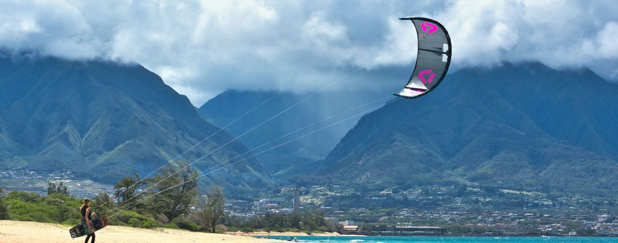
Kanaha Beach Park is on Maui’s north shore at Kahului, beside Kahului Airport. The trade winds blow here from the north-east and east-north-east, the directions spot guides prefer, across a beach that spot guides split into named sections. A reef sits offshore, with waves breaking on it for the riders who go out.
WindChaser’s record here is a 9 km model corrected against the Kahului weather station at the airport, 1.3 km away. The check holds for June, July and August, so those are the months it publishes. June and July are the pick: in each, the wind clears 12 knots for at least three daylight hours on 98 days in a hundred, and August is close behind at 96. The mean over those rideable hours is about 18 knots. The trades build through the morning: in July the wind is at 12 knots or more at 8am on more than half the days, and on nine days in ten or more from 10am to 6pm. For the other nine months the check against Kahului left too wide a margin of error, so WindChaser shows no wind figure for them.
The lifeguard tower is staffed from 8am to 4:45pm; when no lifeguard is in the tower, call 911.
72% of days clear 12 kt for three daylight hours or more.
In March the wind most often sits at 12 to 15 kt (25% of daylight hours) and is over 12 kt from 11am to 6pm on at least half the days. See both charts in the full report
March on the record
The month's own figures, not the year's average.
Rideable days22 of 31Ten Marches in the record
Strongest measured gust58 ktMarch 2026, Kahului airport station, 1.3 km away. Twelve Marches measured, 2015 to 2026. Station, not the beach.
Wind, rideable hours17 ktMean over daylight hours at 12 kt+
Air25.4°CMaximum
Take it with you
The full Kanaha report
Seven sections over six pages, built from the same record as this page. A PDF you can read on the plane.
01Hour-by-hour & month-by-month wind02The month's own records03Full stays, schools & kit04Per-launch notes05Reef, the Weird Wave & the airport limits06Getting there, packing & best months07Sources, and their limits
WindChaser spot reportKanahaMaui, Hawaii, United States · March72% of days clear 12 kt for three daylight hours or more.
When it gets busy
Crowds
Jul · High
Kite Insider rates the crowds at Kite Beach high, busiest from May to August. Hawaii’s rules keep sailboards off the water before 11am and out of the three swimming zones.
On the water
What March usually does
March sits outside the best months here. 72% of days clear 12 kt for three daylight hours or more.
Your playground
Launches & safety
Conditions change. Check local rules and conditions before you ride.
Launch
Hazard
Parking
School
Stay
Webcam
Approximate
Local intel
Getting there & on the ground
Nearest airportKahului (OGG)Maui’s main airport, right beside the beach park.
On the groundJune to AugustThe three months with published wind figures. June and July are the pick.
Getting aroundCarThe park is reached by Amala Place in Kahului.