Maui, Hawaii, United States
Nov · 60% rideableHookipa
What it's actually like
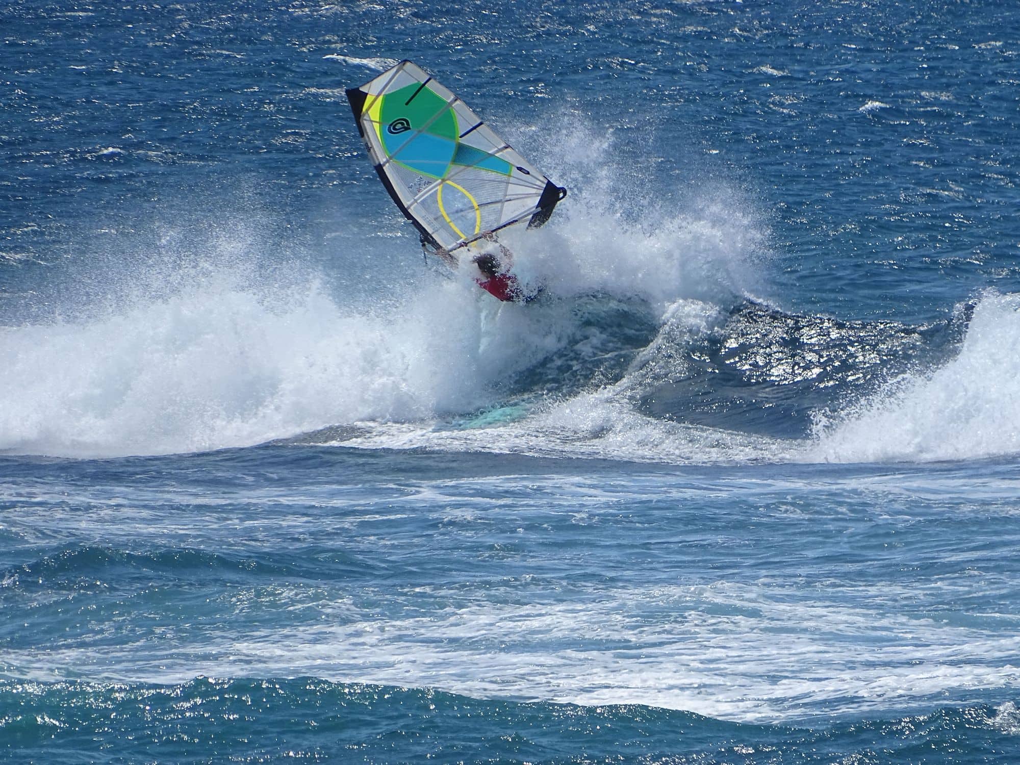
Hookipa Beach Park is on Maui’s north shore, at mile marker 9 on the Hana Highway, near Paia. It is a wave sailing venue: a tiny sand beach and a big rock ledge, with reef breaks close to the shore and spectators on the bluffs above. Action Sports Maui calls it strictly for advanced windsurfers only, and the County of Maui lists the Aloha Classic among the events it has hosted.
The trade wind blows most reliably from May to September. In every one of those months more than three days in four clear 12 knots for three daylight hours or more, and July is the pick at 96 per cent. The mean over those rideable hours sits between 16 and 17 knots. It is up early: in July the wind clears 12 knots at 8am on about six days in ten, and by noon on more than nine in ten. The waves run the other way. Safe to Swim Hawaii describes winter as massive waves with strong trade winds, and summer as smaller swell with a constant wind. January is the lightest month for wind, at about four days in ten.
The County of Maui says lifeguards are on duty from 8am to 4:30pm, while Hawaii Ocean Safety lists 8am to 4:45pm; when no lifeguard is in the tower, call 911.
Spotted something out of date? Tell us
Your month
When it's good
12 kt+ for 3+ daylight hours · kite
November · 60%. 18 rideable days in 30, 6.3 hours a day over 12 kt. Come.
Where else it blows in November
Not yet checked against a weather station or an independent model, so treat these figures as a guide.
At a glance
Is it for you?
Geek analysis
November in the record
60% of days clear 12 kt for three daylight hours or more.
In November the wind most often sits at 12 to 15 kt (23% of daylight hours) and is over 12 kt from 11am to 5pm on at least half the days. See both charts in the full report
No weather station near enough to check these figures against.
November on the record
The month's own figures, not the year's average.
Take it with you
The full Hookipa report
Seven sections over six pages, built from the same record as this page. A PDF you can read on the plane.
When it gets busy
Crowds
Surfers and windsurfers share the water under state zone rules that turn on how many surfers are out. WindChaser has no crowd count for it yet.
On the water
What November usually does
November sits outside the best months here. 60% of days clear 12 kt for three daylight hours or more.
Your playground
Launches & safety
Conditions change. Check local rules and conditions before you ride.
- Launch
- Hazard
- Parking
- School
- Stay
- Webcam
- Approximate
Local intel
Getting there & on the ground
Stay, schools & kit
Who works this beach
All 3 stays near Hookipa on one page