Western Australia, Australia
Oct · 86% rideableLancelin
What it's actually like
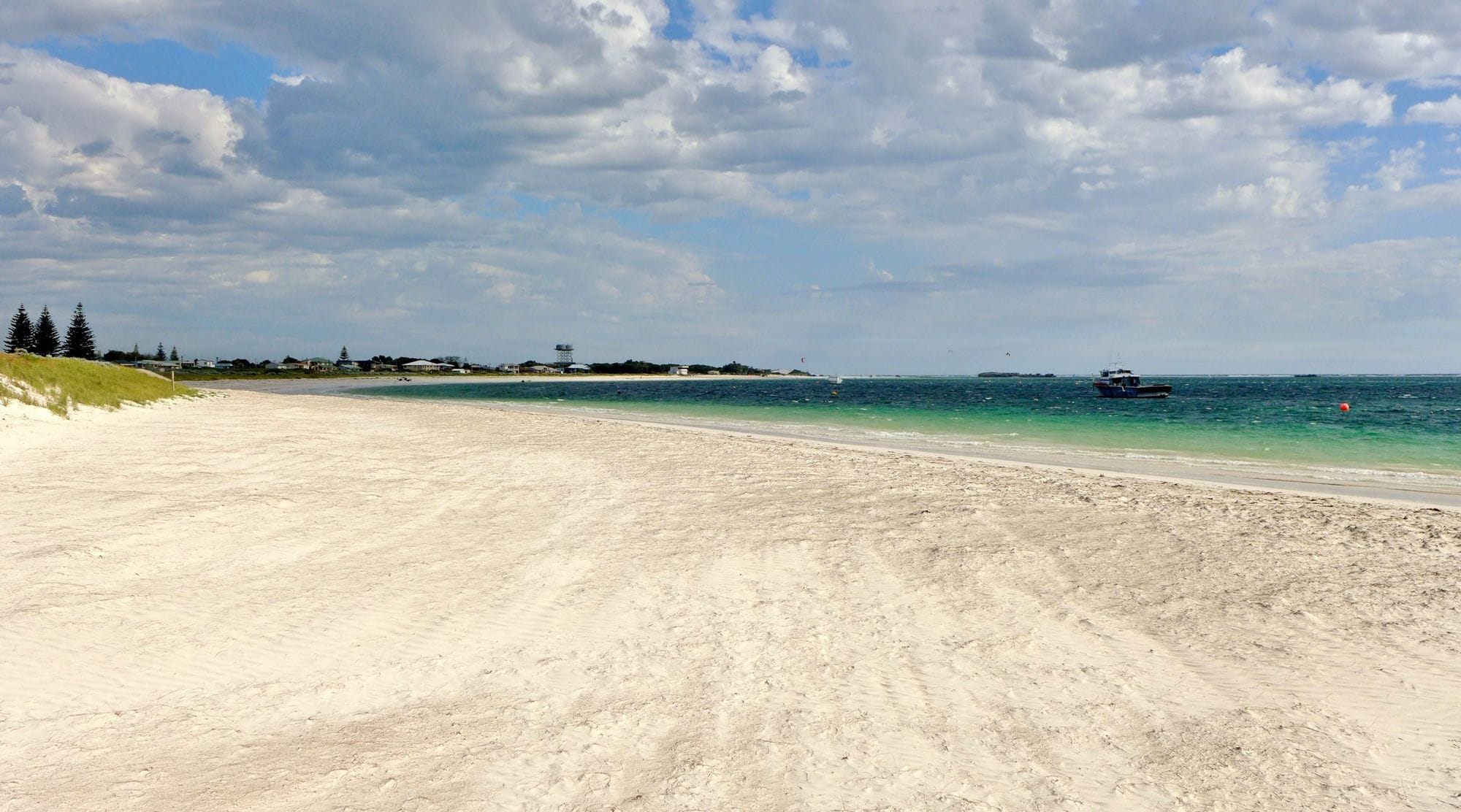
Lancelin is a small town on the Western Australian coast, about two hours north of Perth, with giant sand dunes behind it. Its lagoon sits between the mainland and Edward Island, sheltered by the point. The beaches were a windsurfing venue first, and kiters share the water with that history.
October to March is the season. In every one of those months more than eight days in ten clear 12 knots for three daylight hours or more, and January is the pick, at more than nine in ten. The mean over those rideable hours sits between 16 and 17 knots. It is a sea breeze: spot guides describe a morning offshore that flips around midday and fills in cross-onshore from the left. The record agrees, with about half the January days windy at 8am and nine in ten by 4pm. June is the quietest month, at just over half. On a January afternoon the lagoon is properly lit.
The town has a YHA backpackers 300 metres from the beach, a hotel with bars and a restaurant, and a holiday park.
Spotted something out of date? Tell us
Your month
When it's good
12 kt+ for 3+ daylight hours · kite
October · 86%. 27 rideable days in 31, 7.9 hours a day over 12 kt. Come.
Where else it blows in October
Not yet checked against a weather station or an independent model, so treat these figures as a guide.
At a glance
Is it for you?
Geek analysis
October in the record
86% of days clear 12 kt for three daylight hours or more.
In October the wind most often sits at 12 to 15 kt (29% of daylight hours) and is over 12 kt from 12pm to 6pm on at least half the days. See both charts in the full report
No weather station near enough to check these figures against.
October on the record
The month's own figures, not the year's average.
Take it with you
The full Lancelin report
Seven sections over six pages, built from the same record as this page. A PDF you can read on the plane.
When it gets busy
Crowds
Jan · HighCompiled research puts the busy months in the southern summer, November to February, around the Christmas holidays, and the quiet ones in June to August. It is not a head count.
On the water
What October usually does
Your playground
Launches & safety
Conditions change. Check local rules and conditions before you ride.
- Launch
- Hazard
- Parking
- School
- Stay
- Webcam
Local intel
Getting there & on the ground
Stay, schools & kit
Who works this beach
Nothing listed here yet
If you run one on this beach, put it on the map.
All 4 stays near Lancelin on one page