West Jutland, Denmark
Jun · 62% rideableHvide Sande
What it's actually like
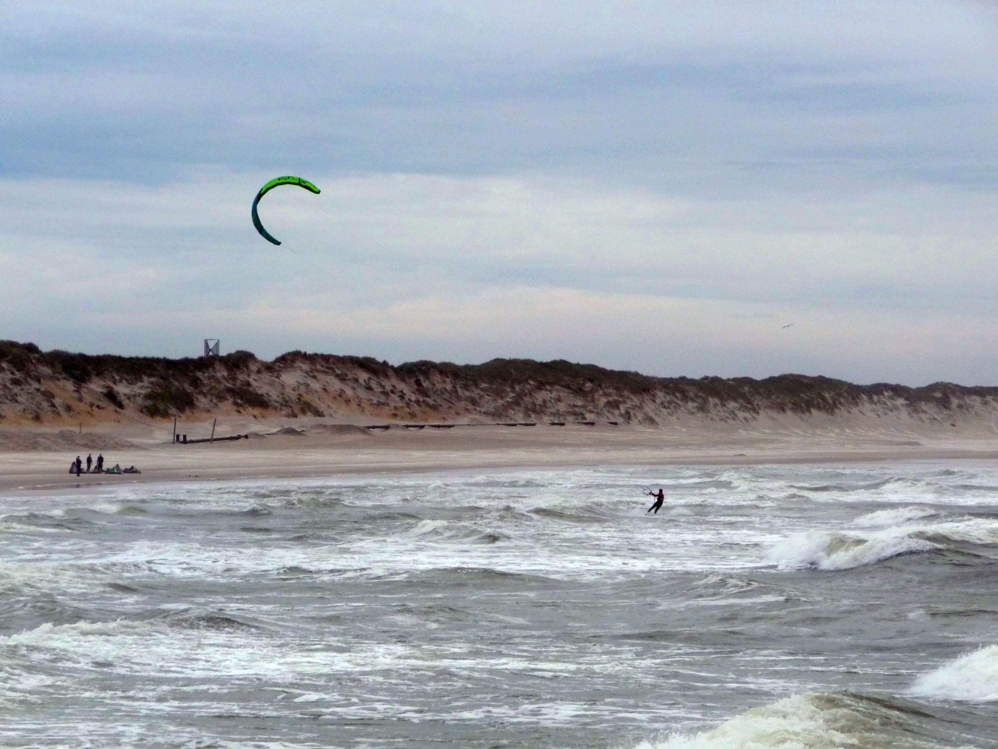
Hvide Sande is a harbour town on the strip of land between the North Sea and Ringkøbing Fjord, on the west coast of Jutland. Two very different waters sit a short walk apart: open North Sea on one side, with the harbour moles, and a huge shallow fjord on the other. Visit Vesterhavet names Kloster, Bork Havn and the South Beach in Hvide Sande as the most popular kite spots.
WindChaser’s record here is a 1 km model checked against DMI’s Hvide Sande station, a kilometre from the spot, and the station agrees with it without a correction, within about 3 points of rideable days a month on average. The check still leaves too wide a margin in February, April, May, July, August, September and December, so those months show no figure. Of the months it publishes, January and October are the pick, with close to eight days in ten clearing 12 knots for three daylight hours, and November is next at two in three; March and June still clear it on more than six days in ten. The mean over those rideable hours runs from 16 to 19 knots, and the share barely moves between 8am and 6pm. A powered-up winter session on the fjord is cold, but the water is flat.
Spotted something out of date? Tell us
Your month
When it's good
12 kt+ for 3+ daylight hours · kite
June · 62%. 19 rideable days in 30, 7.0 hours a day over 12 kt. Come.
At a glance
Is it for you?
Geek analysis
June in the record
62% of days clear 12 kt for three daylight hours or more.
In June the wind most often sits at 8 to 11 kt (30% of daylight hours) and is over 12 kt from 1pm to 6pm on at least half the days. See both charts in the full report
June on the record
The month's own figures, not the year's average.
Take it with you
The full Hvide Sande report
Seven sections over six pages, built from the same record as this page. A PDF you can read on the plane.
When it gets busy
Crowds
Jan · LowBusiest from June to August with the summer holidays; the windy months from November to February are the quiet ones. Compiled research, not a count.
On the water
What June usually does
June sits outside the best months here. 62% of days clear 12 kt for three daylight hours or more.
Your playground
Launches & safety
Conditions change. Check local rules and conditions before you ride.
- Launch
- Hazard
- Parking
- School
- Stay
- Webcam
- Approximate
Local intel
Getting there & on the ground
Stay, schools & kit
Who works this beach
All 5 stays near Hvide Sande on one page