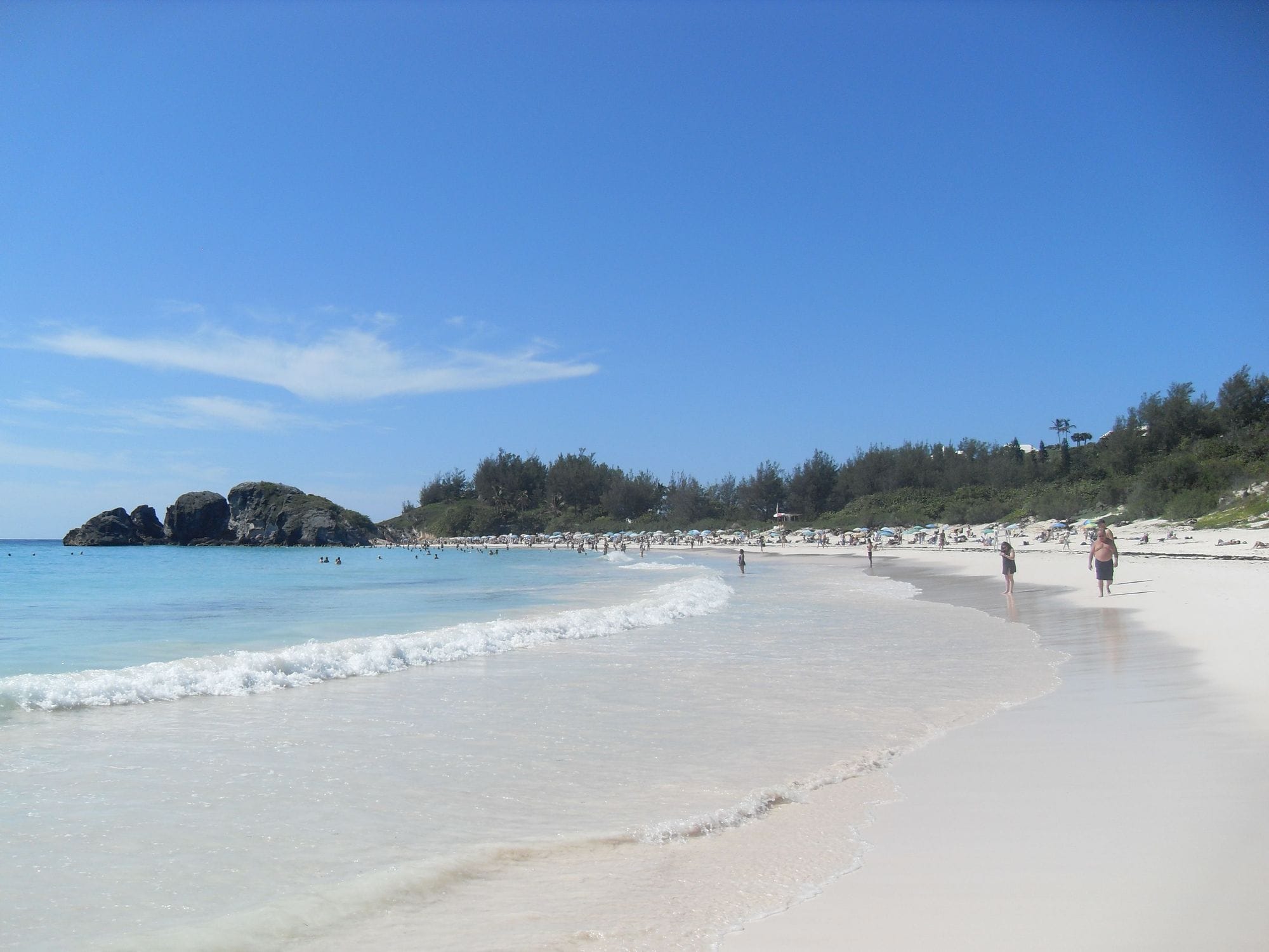
Go To Bermuda calls Horseshoe Bay Beach the island’s most famous stretch of sand: a wide crescent of light-pink sand on the South Shore in Southampton Parish, at the heart of South Shore Park, with a coastal trail running to the beaches either side. The local kite community’s spot guide calls it the main wave spot and the most popular beach in Bermuda for tourists.
Limestone cliffs close off both ends of the bay, and those cliffs decide when it works.
Warwick Long Bay, about 1.4 km east along the South Shore in the Warwick part of South Shore Park, is the second launch.
Not yet checked against a weather station, and a calibration is not a check, so treat these figures as a guide.
At a glance
Is it for you?
Skill levelBring your A-game
WaterMixed bag
Wind · JanUsually turns up
Crowds · JanBusy patches
Local vibeFriendly enough
Water qualityUsually clean
NightlifeA bar or two
CostMid
Geek analysis
January in the record
81% of days clear 12 kt for three daylight hours or more.
In January the wind most often sits at 16 to 19 kt (21% of daylight hours) and is over 12 kt from 8am to 6pm on at least half the days. See both charts in the full report
No weather station near enough to check these figures against.
January on the record
The month's own figures, not the year's average.
Rideable days25 of 31Ten Januaries in the record
Wind, rideable hours19 ktMean over daylight hours at 12 kt+
Air19.6°CMaximum
Take it with you
The full Horseshoe Bay report
Seven sections over six pages, built from the same record as this page. A PDF you can read on the plane.
01Hour-by-hour & month-by-month wind02The month's own records03Full stays, schools & kit04Per-launch tide notes05Shore break, rips & the park rules06Getting there, packing & best months07Sources, and their limits
WindChaser spot reportHorseshoe BaySouthampton Parish, Bermuda · January81% of days clear 12 kt for three daylight hours or more.
When it gets busy
Crowds
Graykite recommends Horseshoe Bay only in spring, autumn and winter because of the crowds on the beach. The spot guide says four or five kites fill it, and it can be very full when a cruise ship is in.
On the water
What January usually does
Wind directionSE to SStraight onshore. The cliffs at each end rule out other directions, per the local spot guide and Graykite.
Wind strength17 to 19 ktThe mean over rideable daylight hours, November to April, in the record: a 9 km model calibrated against a 2.5 km one, nine to ten years a month, wind from every direction.
When it blowsSE to S daysWinter fronts bring the strongest winds, mostly from the west and north-west, which do not work here. Wait for a south-easterly to southerly.
Your playground
Launches & safety
Conditions change. Check local rules and conditions before you ride.
Launch
Hazard
Parking
School
Stay
Webcam
Approximate
Local intel
Getting there & on the ground
Nearest airportL.F. Wade (BDA)About 25 km by road. The speed limit is 32 km/h, so allow 45 minutes or more.
On the groundNovember to AprilThe windiest months in the record. January is the pick.
Getting aroundBus, taxi or scooterNo conventional car hire, though visitors can rent electric cars. Route 7, Hamilton to Dockyard, runs by the South Shore beaches.
Stay, schools & kit
Who works this beach
SchoolGraykite BermudaSchoolKiteKite school with IKO-qualified instructors. Meets at Somerset Long Bay, Daniel’s Head, Cambridge Beaches or Elbow Beach. Names Horseshoe for waves in its advanced sessions.Website
SchoolIsland WindsSchoolKite · WindsurfPrivate and semi-private kite lessons, and windsurf lessons.Website