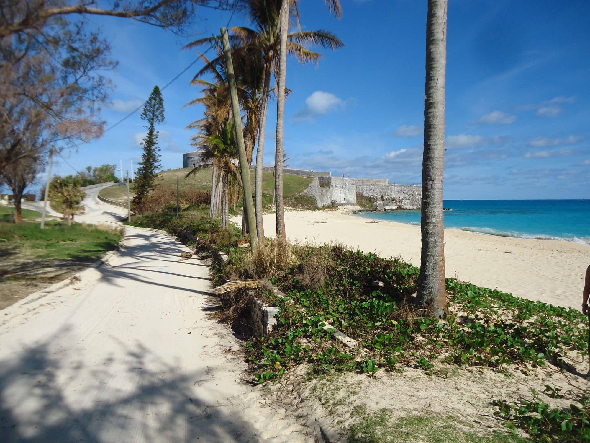
St Catherine’s Beach, also known as Gates Bay, lies past the town of St George’s at the island’s north-eastern tip, below the St Regis hotel, with Fort St Catherine standing on the point at its northern end.
The local kite community’s spot guide lists it as Fort St Catherine’s: a beach facing east, with choppy water off the sand, and a break about a mile off the coast that gets going when a hurricane swell comes in.
Achilles Bay, a small beach about 130 m north-west of St Catherine’s Beach, round the point on the North Shore, is the second launch.
No weather station near enough to check these figures against.
January on the record
The month's own figures, not the year's average.
Rideable days25 of 31Three Januaries in the record
Air19.5°CMaximum
Take it with you
The full Fort St Catherine report
Seven sections over six pages, built from the same record as this page. A PDF you can read on the plane.
01Hour-by-hour & month-by-month wind02The month's own records03Full stays, schools & kit04Per-launch tide notes05Access, the fort & the park rules06Getting there, packing & best months07Sources, and their limits
WindChaser spot reportFort St CatherineSt George’s Parish, Bermuda · January80% of days clear 12 kt for three daylight hours or more.
When it gets busy
Crowds
The local spot guide says to watch out for people on the beach, and space is limited when the sun chairs are out. WindChaser has no crowd count for it yet.
On the water
What January usually does
Wind directionAround EThe local spot guide: best for winds around easterlies. The beach faces east.
Wind strength18 to 20 ktThe mean over rideable daylight hours, October to March, in the record: a 2.5 km model, three to four years a month, wind from every direction.
When it blowsEasterly daysThe prevailing wind is easterly in September and October (Bermuda Weather Service). The prevailing winter wind is south-westerly or westerly.
Your playground
Launches & safety
Conditions change. Check local rules and conditions before you ride.
Launch
Hazard
Parking
School
Stay
Webcam
Approximate
Local intel
Getting there & on the ground
Nearest airportL.F. Wade (BDA)About 6 km by road. The speed limit is 32 km/h, so allow 15 minutes or more.
On the groundOctober to MarchThe windiest months in the record. February is the pick.
Getting aroundBus, taxi or scooterNo conventional car hire, though visitors can rent electric cars. Routes 10 and 11 run from Hamilton to St George’s; from King’s Square it is a 20 to 25 minute walk or a minibus.
Stay, schools & kit
Who works this beach
SchoolGraykite BermudaSchoolKiteKite school with IKO-qualified instructors. Meets at Somerset Long Bay, Daniel’s Head, Cambridge Beaches or Elbow Beach.Website
SchoolIsland WindsSchoolKite · WindsurfPrivate and semi-private kite lessons, and windsurf lessons.Website