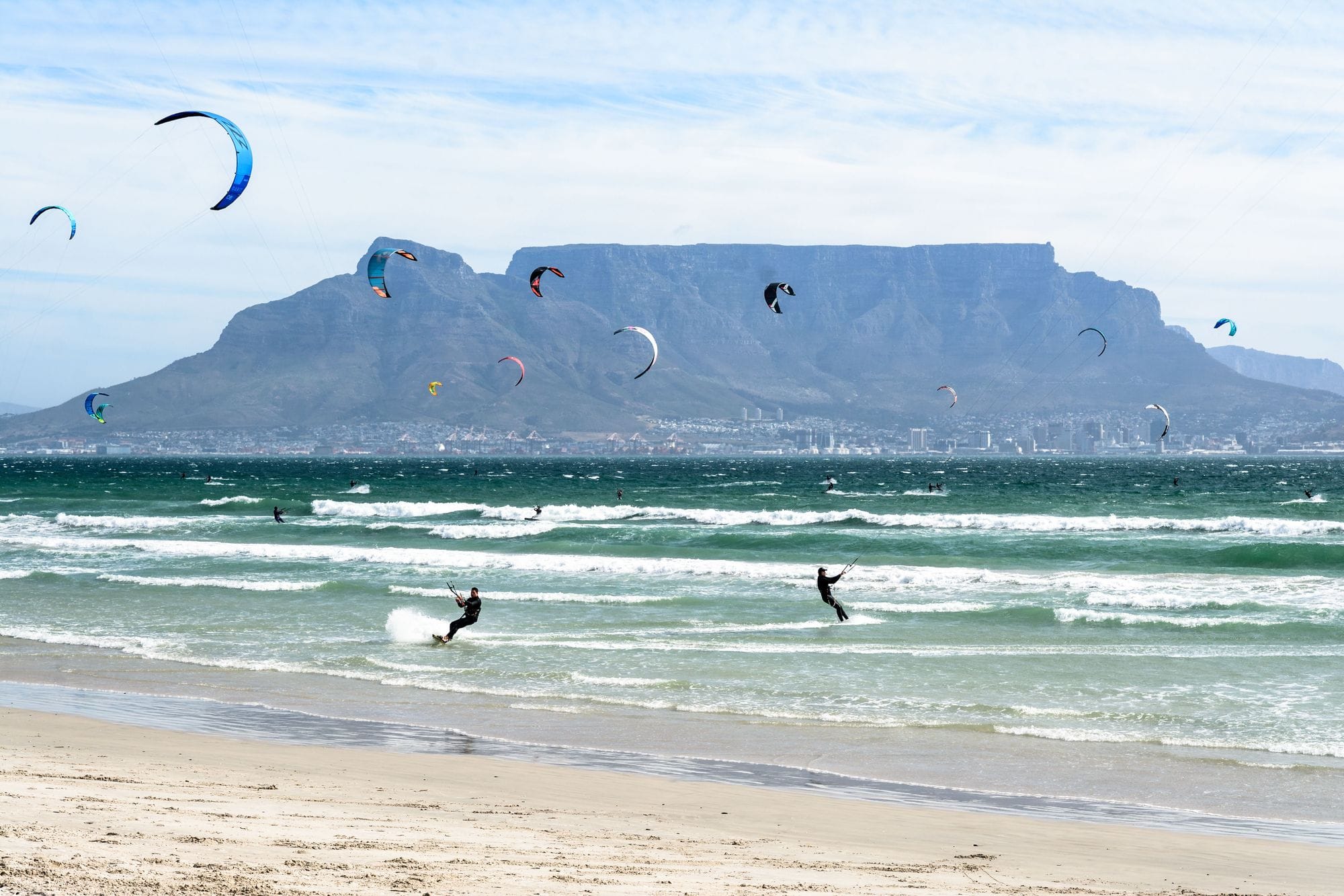
Blouberg is the run of beaches on the north side of Table Bay, about 15 km from central Cape Town. Riders talk about four of them: Big Bay, Kite Beach, Dolphin Beach and Sunset Beach. The Cape Town Kite Club lists south-east, south and south-west winds for all four.
The one the spot is known for is the summer south-easter, known locally as the Cape Doctor.
In every one of those months more than six days in ten clear 12 knots for three daylight hours or more, and January is the pick, at nearly three in four.
Not yet checked against a weather station or an independent model, so treat these figures as a guide.
At a glance
Is it for you?
Skill levelComfortable
WaterMixed bag
Wind · OctHit and miss
Crowds · OctBusy patches
Local vibeFriendly enough
Water qualityUsually clean
NightlifeA bar or two
CostMid
Geek analysis
October in the record
52% of days clear 12 kt for three daylight hours or more.
In October the wind most often sits at 8 to 11 kt (33% of daylight hours) and is over 12 kt from 4pm to 5pm on at least half the days. See both charts in the full report
No weather station near enough to check these figures against.
October on the record
The month's own figures, not the year's average.
Rideable days16 of 31Nine Octobers in the record
DirectionNo single prevailing direction
Wind, rideable hours15 ktMean over daylight hours at 12 kt+
Air21.9°CMaximum
Waves1.6 m72% of days run big
Take it with you
The full Cape Town - Blouberg report
Seven sections over six pages, built from the same record as this page. A PDF you can read on the plane.
01Hour-by-hour & month-by-month wind02The month's own records03Full stays, schools & kit04Per-launch tide notes05Rocks, swim zones & offshore wind06Getting there, packing & best months07Sources, and their limits
WindChaser spot reportCape Town - BloubergWestern Cape, South Africa · October52% of days clear 12 kt for three daylight hours or more.
When it gets busy
Crowds
Jan · High
Busiest from November to January, in the summer holidays and the windy months, according to compiled research rather than a count. The King of the Air waiting window runs from 21 November to 6 December 2026.
On the water
What October usually does
October sits outside the best months here. 52% of days clear 12 kt for three daylight hours or more.
Your playground
Launches & safety
Conditions change. Check local rules and conditions before you ride.
Launch
Hazard
Parking
School
Stay
Webcam
We haven't found published rules for this spot.
Local intel
Getting there & on the ground
Nearest airportCape Town (CPT)About 29 km by road to Bloubergstrand, around 35 minutes.
Kit storageKitekahunas kite storageKitekahunas at Sunset Beach offers kite storage on request, free for its students and for guests who book its accommodation.Kitekahunas · Checked Oct 2026
On the groundNovember to FebruaryThe windiest months in the record. January is the pick.
Getting aroundA carFrom the city centre, the N1 and then the R27 along Marine Drive and Otto du Plessis Drive, about 21 km by road.